About Confluent Drone Services

Mapping & Lidar
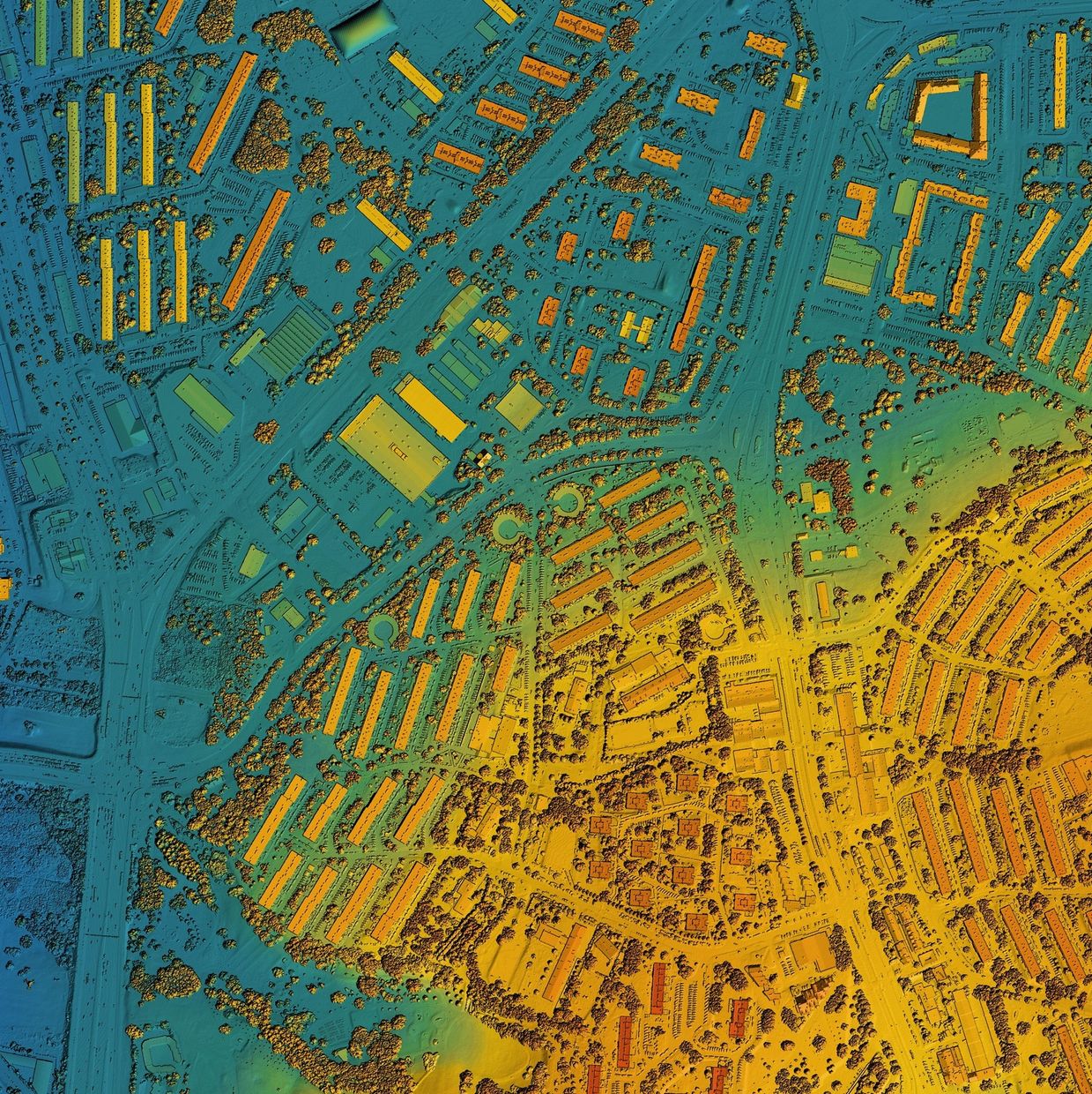
Create detailed, centimeter-level maps using ground control points, RTK, and PPK processing for high precision. Our mapping services provide the foundation for informed decision-making across multiple industries.
What We Deliver:
High-resolution orthomosaic maps
Digital elevation models (DEMs)
Contour maps and topographic surveys
GIS-ready data formats
Centimeter-level accuracy with ground control points and post-processing workflows.
Perfect For: Land development, urban planning, environmental monitoring, engineering projects, and property boundary documentation.

Construction Progress Monitoring
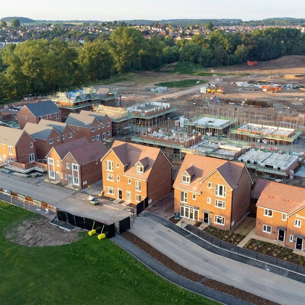
Keep your construction projects on track with regular aerial documentation and progress tracking. Our systematic approach provides stakeholders with clear, visual updates and helps identify potential issues before they become costly problems.
What We Deliver:
- Scheduled aerial photography and videography
- Side-by-side progress comparisons
- Detailed progress reports with annotations
- Time-lapse video compilation
- Integration with project management platforms
Perfect For: General contractors, project managers, investors, and clients who need reliable progress documentation and stakeholder communication.

Modeling & Digital Twins
Transform your projects with precise 3D digital models created from high-resolution aerial imagery. Our advanced photogrammetry techniques capture every detail of structures, terrain, and sites to create accurate, measurable 3D representations.
What We Deliver:
- High-resolution 3D point clouds and mesh models
- Textured models with photorealistic detail
- CAD-compatible file formats (OBJ, PLY, LAS)
- Measurements and dimensional analysis
- Interactive 3D viewers for easy sharing
Perfect For: Architectural planning, heritage preservation, accident reconstruction, facility management, and design visualization.

Volumetrics
Accurately measure stockpiles, earthwork, and material volumes with high precision. Our drone-based volumetric analysis provides fast, accurate, and cost-effective volume calculations.
What We Deliver:
Precise volume calculations with cut/fill analysis
Stockpile inventory reports
Before/after volume comparisons
Topographic maps and contour lines
Integration with existing survey data
Perfect For: Mining operations, construction sites, aggregate suppliers, landfills, and any operation requiring accurate volume measurements.

Agriculture
Optimize crop health and farm management with specialized agricultural drone services. Our multispectral imaging and data analysis help farmers make data-driven decisions to improve yields and reduce costs.
What We Deliver:
NDVI and multispectral crop health analysis
Pest and disease identification
Irrigation efficiency mapping
Crop counting and yield estimation
Field boundary mapping and area calculations
Perfect For: Farmers, agricultural consultants, crop insurance companies, and agribusinesses seeking to maximize productivity and sustainability.

Cell Tower & Infrastructure Inspections
Eliminate the need for dangerous climbs and costly equipment shutdowns with comprehensive drone-based infrastructure inspections. Our advanced aerial technology provides detailed visual and thermal analysis of cell towers, transmission lines, and critical infrastructure.
What We Deliver:
Close-up visual inspection of antennas, mounting hardware, and guy wires
Thermal imaging to identify overheating equipment and electrical issues
GPS-tagged imagery for precise issue location and tracking
Emergency response inspections for storm damage assessment
Perfect For: Cell tower operators, telecommunications companies, utility providers, bridge authorities, industrial facility managers, and any organization requiring regular safety inspections of vertical infrastructure

Solar
Maximize your solar investment with comprehensive aerial inspections that identify performance issues and maintenance needs. Our thermal and visual analysis ensures optimal system performance.
What We Deliver:
Thermal imaging to detect hot spots and defects
High-resolution visual documentation
Panel-by-panel performance analysis
Maintenance and repair recommendations
System efficiency reports
Perfect For: Solar farm operators, residential solar owners, maintenance companies, and energy consultants focused on system optimization.
Disclaimer
Confluent Drone Services provides aerial data collection and mapping services. For projects requiring official land surveying, we recommend consulting with a licensed professional surveyor
Confluent Drone Services
Copyright © 2025 Confluent Drone Services - All Rights Reserved.
This website uses cookies.
We use cookies to analyze website traffic and optimize your website experience. By accepting our use of cookies, your data will be aggregated with all other user data.